Satellite image of Depression Two off the coast of North Caroline on Monday, June 14, 2021. NOAA image.
TS Bill Forms and Dissipates as Bay of Campeche Disturbance Heads North
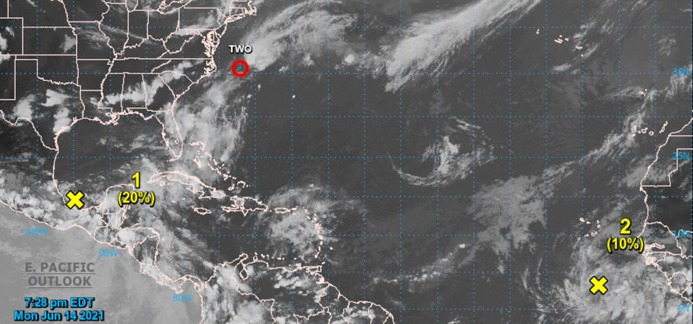
Tropical Depression Two formed out of a low-pressure system off the coast of South Caroline on Monday morning, June 14. Monday’s forecast indicated some strengthening was possible over the next 24 hours as the depression moved northeast over warm water in an area with low to moderate wind shear. A large trough over eastern North America was expected to keep the system moving northeast away from the East Coast. Forecasters at the National Hurricane Center expected Depression Two to dissipate over cold waters off the coast of Newfoundland within 48 hours. With a wind speed of 35 MPH, Depression Two was only few miles per hour short of becoming a tropical storm.

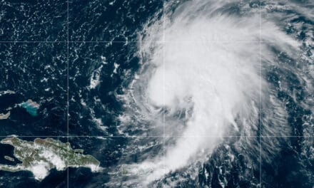
Tropical Storm Bill was named late on Monday, June 14, 2021 with sustained winds of 45 MPH. NOAA Satellite Image.
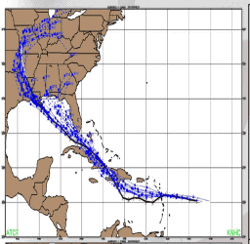
Late in the evening on Monday, the deep convention within Tropical Depression Two increased and the wind speed strengthened to 45 MPH and became Tropical Storm Bill, officially the second named storm of the 2021 Atlantic Hurricane Season. Though encountering strong shear from the southwest, Bill had become a tropical storm in a hostile environment. It continued to move to the northeast at 23 MPH, pushed by the trough near the East Coast.
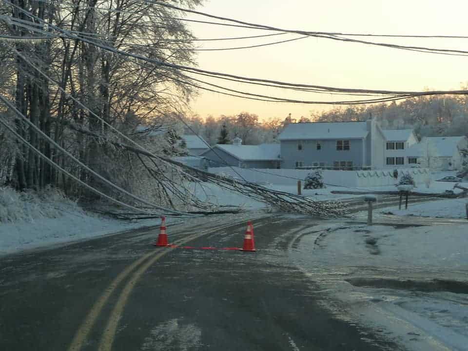
Standby Generators for Power Outages Start and Run Automatically, Even in a Hurricane.
By 5 AM on Tuesday, Bill had strengthened and expanded with storm force winds 40 miles from the center and sustained winds up to 50 MPH. Headed toward cold water and strong wind shear, forecasters expected Bill to transition to an extra-tropical system by late in the day. However, Bill continued to strengthen and achieved winds of 60 MPH by 11 AM. Six hours later, Bill still had 60 MPH winds but had begun the transition to an extratropical cyclone.

The NHC discussion at 11 PM on Tuesday determined that Tropical Storm Bill had fully transitioned to an extra-tropical system. Extratropical storms and hurricanes take most of their energy from the surrounding atmospheric conditions instead of warm water. At 11 PM, the National Hurricane Center issued its last advisory on Tropical Storm Bill as it weakened to a trough south of Newfoundland.
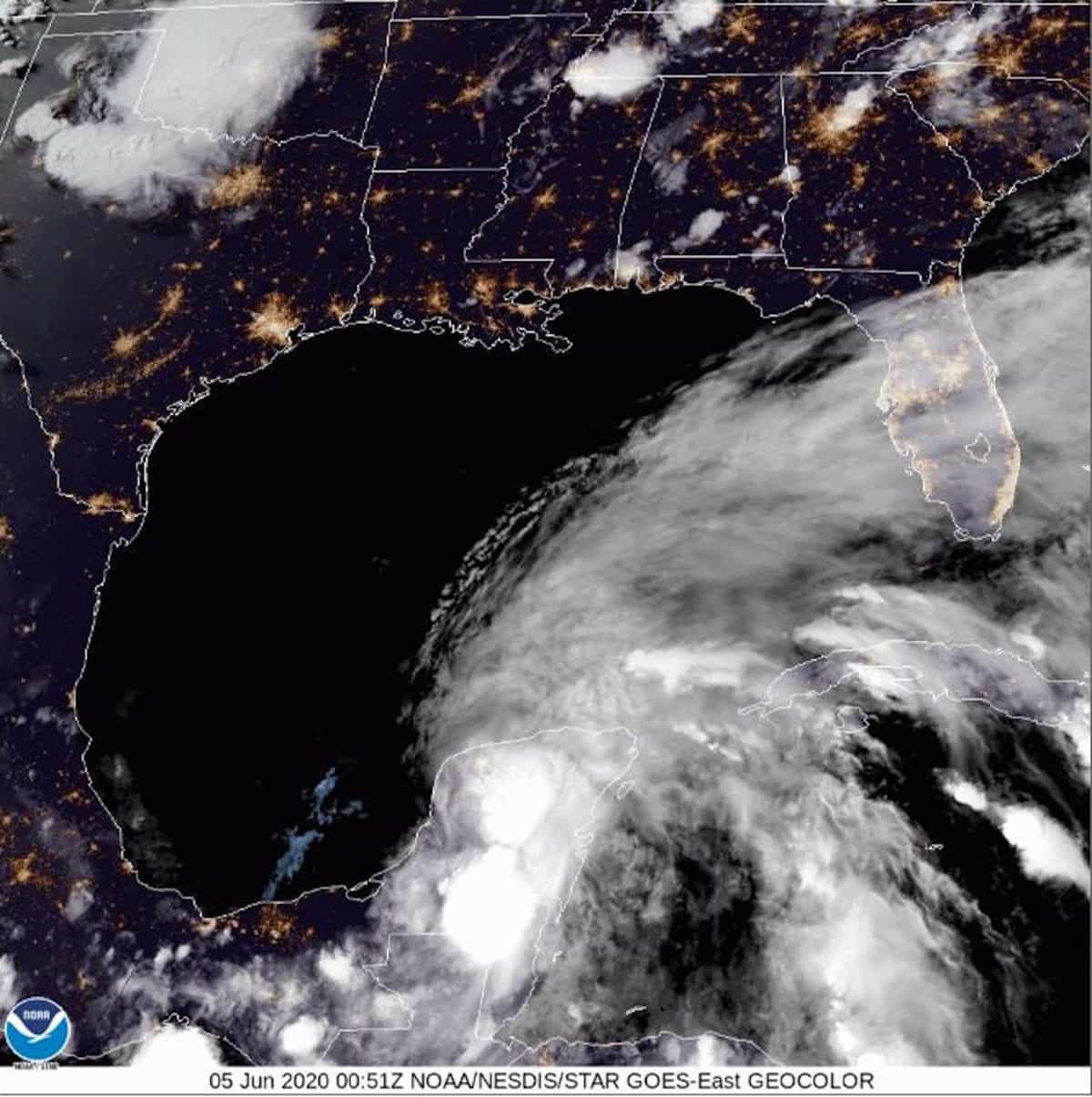
Bay of Campeche System Likely to Become Claudette

Meanwhile, an area of scattered thunderstorms and heavy rain continues to strengthen over the Bay of Campeche in the southern Gulf of Mexico. This system will move north over the next few days and has a 90 percent chance of forming a tropical depression. The National Hurricane Center expects to issue Tropical Storm Warnings and Watches for the Northern Gulf Coast on Thursday along with Potential Tropical Cyclone advisories.
The new depression will be the third of the season—Tropical Depression Three. If it reaches Tropical Storm Strength, the next name on the list of tropical storms for 2021 is Claudette. Louisiana and Texas are the most likely locations for a landfall.
Portable Generators—Convenient Power Where You Need It
Colorado State University’s Tropical Meteorology Project updated their forecast on June 3 with few changes over their April forecast. As always, long range hurricane season outlooks provide a picture of what could happen rather than forecast of what will happen. The number of named storms in the forecast increases to 18 while the hurricanes remain at eight, and major hurricanes at four. The next forecast update comes on July 8. Beginning August 5, the project issues forecasts at two-week intervals through October 14.
Hurricane Preparedness
- Hurricane Hazards and Risk Factors
- Make a Hurricane Evacuation Plan
- Hurricane Preparedness Kits and Supplies
- Hurricane Insurance Checkup and Updates
- Prepare Your Home for Hurricanes
- Help Neighbors with Hurricane Preparedness
- Complete Your Hurricane Preparedness Plan
- Emergency Preparedness Tips
- How to Prepare for a Power Outage
- 10 Tips to Survive a Hurricane Disaster
- FEMA Recommends a Generator
- Hurricane Disaster Preparedness


