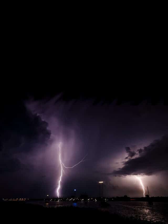
August 31st-September 1 marks the middle of the hurricane season. So far in 2013, there have been six named storms in the Atlantic Basin and Caribbean Sea, but none have attained hurricane strength. Predictions for this year’s season were for an above average to hyperactive season with approximately 15 named storms, of which 8 would be hurricanes and three of those major hurricanes.
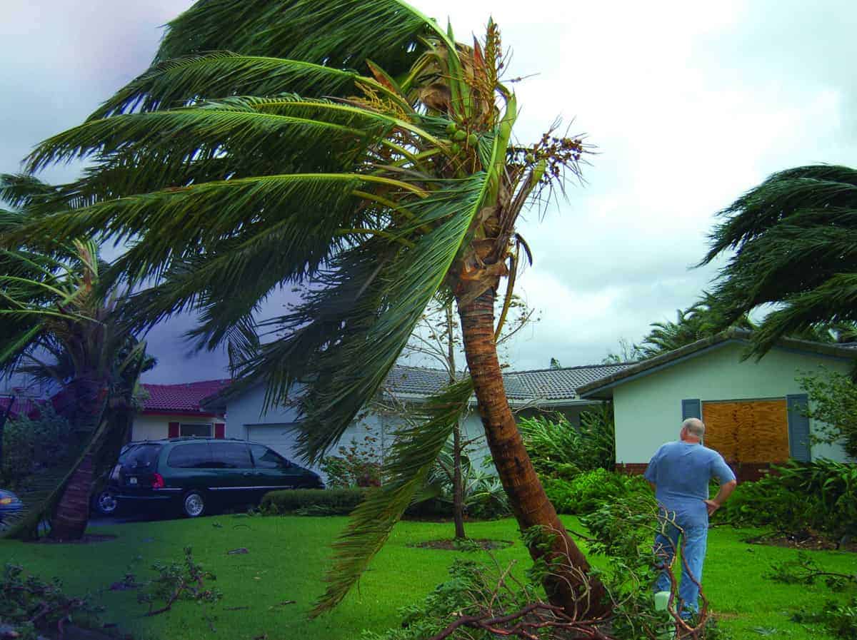
Tropical Cyclones are potentially devastating storms that impact lives and property wherever they make landfall. Tropical storms and hurricanes are tropical cyclones with circular rotation around a central eye. Tropical storm winds range from 39 to 74 miles per hour, and hurricanes from 75 to 150 miles per hour, but the most dangerous threat is inland flooding.
Tropical storms are often ignored as potentially dangerous and don’t receive the wide media attention given to hurricanes, but with the potential for tornadoes, power outages, extreme rain, and flooding, a tropical storm can cause serious damage and pose life-threatening risks. This year’s hurricane season has been blamed for at least 18 deaths, left tens of thousands without electrical power, and caused serious property damage.
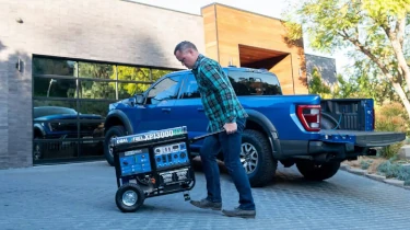
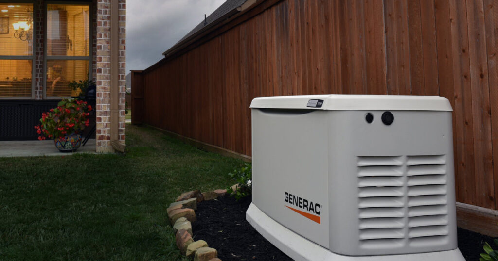
Preparation for a storm of any kind should include food and water supplies, learning evacuation routes, and performing maintenance on standby and portable generators, along with maintaining stores of fuel supplies.
June
Andrea formed quickly in early June in the Caribbean Sea and peaked with winds that reached 65 miles per hour. It dropped 12 inches of rain on the Yucatan Peninsula of Mexico and killed three people. Later it crossed into Florida, causing scattered power outages and flooding. Andrea spawned five tornadoes which caused at least one serious injury.
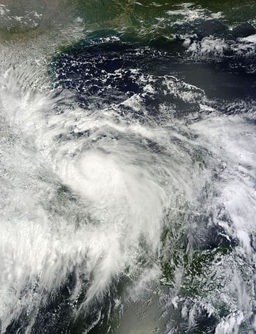
A well-defined tropical wave in the Southeastern Caribbean Sea was noted on June 15, just one week after Andrea formed. It moved across the Central-America Isthmus and emerged over the southern Gulf of Mexico where it intensified into Tropical Storm Barry. Barry moved inland again on June 20 near Veracruz, Mexico with winds up to 45 MPH. The storm left 27,000 people without power, caused fires with lightning, and injured at least two people.
July
Two storms formed off the Cape Verde Islands west of Africa and were carried by the equatorial stream of air across the Atlantic. Chantal formed on July 5 as a tropical wave with little chance of forming a cyclone, but on July 8 had a well defined center of circulation and was upgraded to a tropical storm. By July 10, wind shear was destroying the storms center. Downgraded again to a topical wave, it caused the evacuation of thousands in Hispaniola and was blamed for the death of at least one person in the Dominican Republic.
Dorian formed as a depression on July 24, managed to gain enough energy to organize and then spluttered it’s way across the Atlantic as a depression until it reformed into a tropical storm off the coast of Florida. It lasted only 12 hours and degenerated into an area of low pressure.
August
The record books will show August 2013 as the first August since 2002 without hurricane development. There were two tropical storms this month, Erin and Fernand. Erin formed off the Cape Verde Islands on the 13th as a depression and became a tropical storm on the 15th. It lost strength for a time, then regenerated into a tropical storm on the 17th, only to degrade into a tropical depression on the 18th.
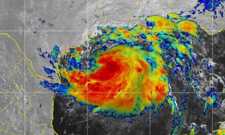
Fernand formed over the Yucatan Peninsula as a Tropical Wave on the 23rd and moved into the Bay of Campeche where an Air Force reconnaissance aircraft determined it was a tropical storm. Fernand was short-lived and made landfall again just north of Veracruz where it degraded into a low pressure area with heavy thunderstorms. Fernand caused 14 deaths over its relatively short life span.
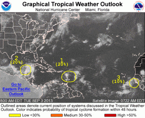
As of this writing, there are three storm systems with the potential to develop into a tropical cyclone over the Atlantic Ocean and Caribbean Sea. With three months left in this hurricane season, have you prepared for the next storm?

