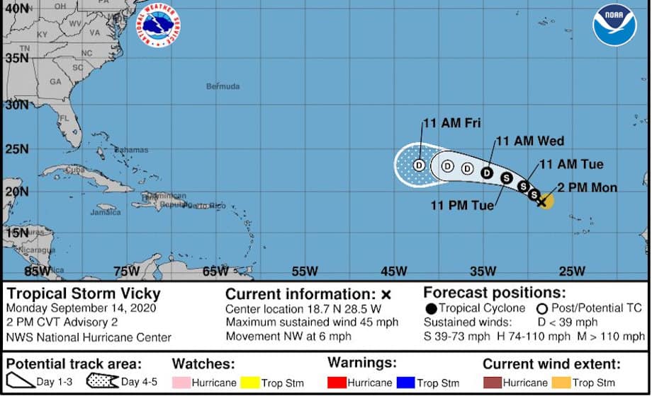
National Hurricane Center Advisory Graphic for Tropical Storm Vicky over the east Atlantic Ocean
Strong Wind Shear Limits Vicky’s Organization and Strength
Tropical Depression Twenty-One organized in the early hours of Monday September 14 around 9:00 Cape Verde Time (CVT). A few hours later it intensified to become the twentieth named storm of the 2020 Atlantic Hurricane Season and break another record as the earliest V-named storm. Tropical Storm Vicky struggles in hostile conditions with a 60-knot westerly wind shear. Vicky will continue to lose strength overnight and may dissipate to a remnant in 36 hours or less.
Hurricane Sally Forecast as Category 3 Before Louisiana Landfall
Tropical Storm Vicky formed about the same time as another tropical cyclone, now hurricane Teddy, and just two days after Hurricane Sally pushed into the Gulf of Mexico off the Florida Peninsula. Wilfred is the only name that remains in the list of storm names for the 2020 season, and the season peak just began with a hyperactive week. The next storm to watch could come as early as September 17.
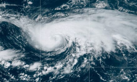
Tropical Storm #Vicky has formed in the eastern Atlantic Ocean west-northwest of the Cabo Verde Islands. #Vicky is expected to be short-lived and poses no threat to land at this time. https://t.co/tW4KeFW0gB pic.twitter.com/mAq23wRpfV
— National Hurricane Center (@NHC_Atlantic) September 14, 2020

September 14 ties 1971 Record for Most Storms at One Time
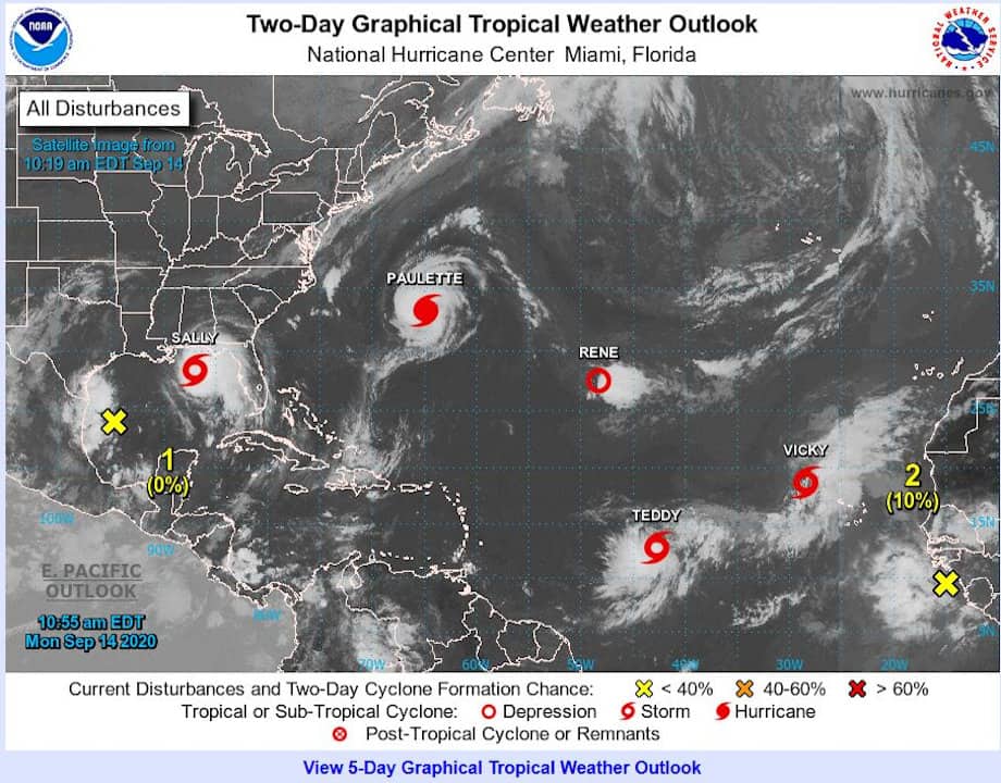
Five named Tropical Cyclones are active in the Atlantic today, September 14. This ties the previous record set in 1971, nearly 50 years ago.
Hurricane Sally is about to make landfall near New Orleans, Louisiana, the second hurricane to hit this month. Sally is a strong Category 2 storm and could reach category 3 before landfall. Sally brings a dangerous and prolonged storm surge event as the storm reaches land about same time as low tide. As the tide shifts and the storm stalls near the coast, the wind and tide work together to push more water onto land. The National Hurricane Center is calling this an extremely dangerous and life-threatening surge of 10-feet of more.
Hurricane Paulette, once forecast to struggle as a tropical storm, hit Bermuda as a Category 3 Major Hurricane. Paulette will remain a major hurricane for the next day and a half on a northeast course, then a hurricane for a day, when turns south as a tropical storm. The forecast track for five days points it at the Cape Verde Islands, but it is difficult to forecast a track so many days in advance.
Post-Tropical Depression Rene, initially forecast to reach hurricane strength or possibly a major hurricane, struggled to stay organized in strong wind shear and eventually to a track much different than projected. The National Hurricane Center issued its last advisory on Rene today at 5 PM Atlantic Standard Time.
Tropical Storm Teddy, forecast to become a Major Hurricane by midday Thursday, has a general track from the middle Atlantic toward Bermuda, but more than likely will change course before it reaches the islands. Bermuda was just hit by Major Hurricane Paulette. Teddy’s track should keep it well away from the Lessor Antilles islands. Keep an eye on Teddy this week as any change in direction to east could have consequences for the East Coast.
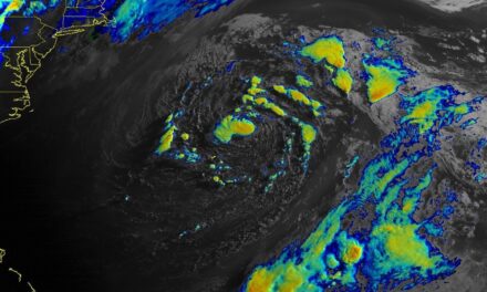
Not much room left out there for anything else! pic.twitter.com/YENuM1xm6r
— Jim Cantore (@JimCantore) September 14, 2020
We are issuing advisories on five tropical cyclones over the Atlantic basin. This ties the record for the most number of tropical cyclones in that basin at one time, last set in Sept 1971. See https://t.co/tW4KeFW0gB for the latest updates. #Paulette #Rene #Sally #Teddy #Vicky pic.twitter.com/K32RyJBqbo
— National Hurricane Center (@NHC_Atlantic) September 14, 2020


