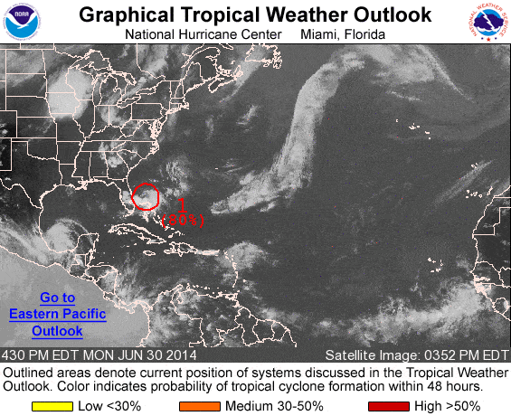
The end of June, 2014 brings the possibility for the first tropical cyclone of the season to the coast of Florida. At 2 PM EDT, an area of low pressure with thunderstorms was increasing in organization just 125 miles east of the coast of Florida. The National Hurricane Center gave an 80 percent probability this for the system to become a tropical depression within 48 hours.
Update 1 PM CDT: Depression 1 was upgraded to Tropical Storm Arthur at 11 AM Eastern time on July 1 with sustained winds of 40 MPH and a track that takes it up along the East Coast of the United States. Arthur is the first tropical cyclone of the Atlantic Season and may strengthen into a hurricane by Friday, July 4.
Elsewhere across the Atlantic Basin, Caribbean Sea, and Gulf of Mexico, no tropical cyclones have formed since the start of the Atlantic season.
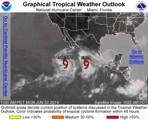
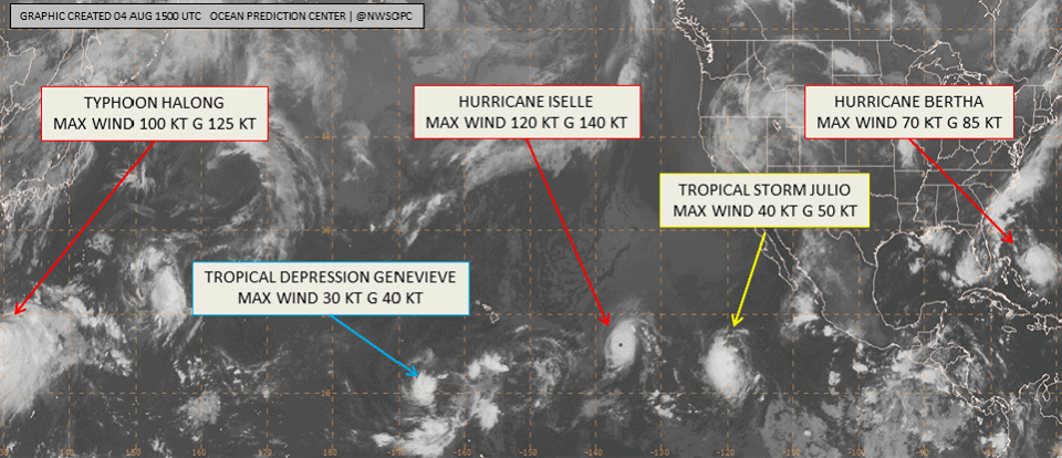
The Northeast Pacific Ocean is a different story. There are two tropical storms (see graphic in next section) currently off the coast of Mexico. Tropical Depression 4E was upgraded to a tropical storm on Sunday, June 29. On Monday, June 30, another system intensified into a second tropical storm named Elida.
The twin storms in the Eastern Pacific are the third and fourth named storms of the Eastern Pacific storm season. Two other named stormed have already run their course. Storms in this area of the Pacific Ocean don’t usually pose a threat to the United States, but often cause flooding, mudslides, and power outages along the coast of Mexico and Gulf of California, and the Baja Peninsula.
July Outlook
Hurricane season in the Atlantic, Caribbean, and Gulf of Mexico begins on June 1. Historically, tropical cyclones become more frequent and more intense as the season progresses from late spring through late summer. The season peaks during late August through late September with a historical average peak around September 10. The season declines during October and ends on November 30.
Tropical Storms, Hurricanes and Major Hurricanes can form at any time during the year and are not restricted to the hurricane season.
The 2014 Atlantic season forecast called for an unusually quiet hurricane season, and has thus far has met that expectation. There are no guarantees the season will remain quiet and the storm forming off the coast of Florida may become the first named Atlantic storm of the year. Given that long range forecasts have a low expectation of accuracy, there is a possibility that July could produce a number of storms.
Seasonal Impacts and Preparation
Tropical Storms and hurricanes produce high winds and torrential rainfall and cause flash floods and inland flooding, power outages, mud slides, and are responsible for numerous deaths every year.
Associated hazards of hurricanes include extreme storm surge and coastal flooding, extreme winds, and tornadoes. Storm surge can overwhelm natural and man-made water barriers and flood low-lying coastal areas. Flooding associated with hurricanes and tropical storms are responsible for loss of life and property damage every year.
Everyone living along coastal areas and inland from coastal areas affected by hurricanes and tropical storms should prepare in advance by:
- understanding local evacuation plans and routes.
- purchasing an NOAA weather radio.
- building an emergency storm survival kit.
- stocking non-perishable food and potable water for at least one week.
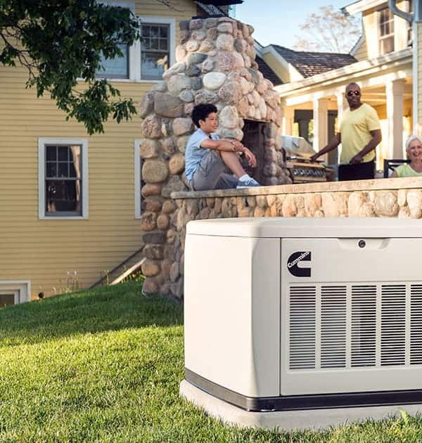
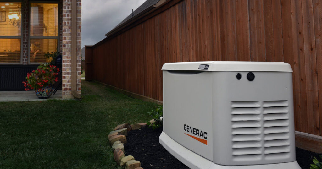
- installing an emergency standby generator system or
- have portable generator with installed manual transfer switch.
- storing fuel supplies for portable generators.
When a storm threatens land:
- Follow local news reports.
- Board up windows and doors.
- Evaluate supplies and emergency kit.
- Evacuate in advance—take emergency kit with you.
- Follow your action plan, but make changes when necessary.
Even though the 2014 forecast for the Atlantic hurricane season predicts fewer storms than most years, preparation is still important for those living on coastlines and inland regions. Prepare now.

