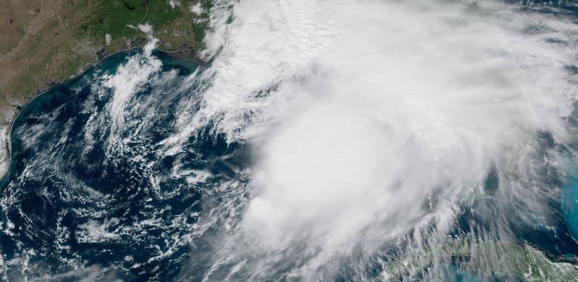
Florida Storm Surge Warnings, Tropical Storm Warnings for Northeast Gulf Coast
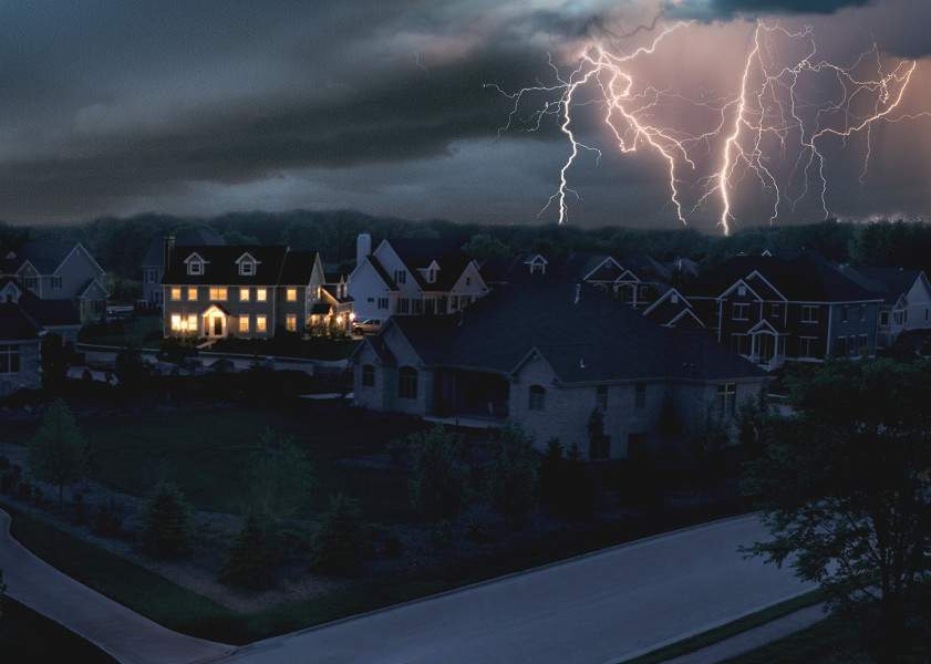
Tropical Storm Nestor will impact the Northern Gulf Coast and Florida Panhandle with 60 MPH winds and 70 MPH gusts. Storm surge coupled with heavy rain may cause flooding in low-lying areas. Nestor is a fast-moving storm with a northeasterly movement of 22 MPH. expect landfall about 7 AM on Saturday. High winds, heavy rains, and flooding add to the potential for power outages.
Nestor may continue to strengthen before it makes landfall as a strong tropical storm or post-tropical storm. Once it reaches land, the storm will lose its tropical characteristics. National Weather Service local offices will handle any new warnings and watches after the transition.
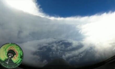
NHC Director Ken Graham detailed the storm’s expected impacts on a Facebook Live post. Earlier today.
After landfall, Nestor will transition to a post-tropical storm as it passes through Florida and Georgia, and then through North and South Carolina before emerging over the Atlantic Ocean sometime on Sunday. Gradual weakening to a post-tropical depression is expected as Nestor continues to move northeast over the Atlantic on Tuesday.
The heaviest rainfall in the four to six-inch range will stay over the Gulf except for small portions of the Florida Panhandle. Two to four inches are expected from Florida through North Carolina along the path of the storm, with the possibility for heavier rain. Some potential for flash flooding exists in those areas, according to Ken Graham.
Graham spoke about storm surge of three to five feet from Apalachicola, Florida to Tampa. Storm Surge is fast rising water that moves with the storm and comes ashore ahead of and during landfall. Flooding and Storm Surge cause the most damage and take the most lives during hurricanes and tropical storms. It often moves up rivers and waterways to reach miles inland.
- National Best Seller 22kW Generac 70432
- 10-Year Standard Warranty 14kW Champion
- Whole House Quiet Connect Cummins 20kW HSB
- Symphony II Power Management Briggs & Stratton 20kW 40584
- Kohler Power Systems Reliability 20kW RESAL
NHC Key Messages for TS Nestor
- A 3 to 5-foot storm surge is possible from Apalachicola to Tampa, Florida, especially at high tide. Storm surge associated with Nestor may occur well away from the center of the storm. Follow advice by local officials.
- A 3 to 5-foot storm surge is possible from Apalachicola to Tampa, Florida, especially at high tide. Storm surge associated with Nestor may occur well away from the center of the storm. Follow advice by local officials.
- Expect tropical storm force winds along the central and eastern Gulf Coast. Tropical Storm Warnings in effect from New Orleans to Tampa Florida. Nestor is a large cyclone with storm force winds far away from the center.
- Some isolated flash flooding is possible along the Gulf Coast and Southeast through Saturday night.
- Look to the National Weather Service for local warnings and watches after Tropical Storm Nestor makes landfall and becomes an post-tropical storm.


