Tropical storm Karen formed out of an area of showers and thunderstorms in the southern Gulf of Mexico today. The system was already producing gale force winds and bringing rain to Cuba and the Yucatan Peninsula. A hurricane hunter aircraft extensively explored the area yesterday and found the system more organized than expected, but it was not yet a tropical cyclone.
Update: Friday, 10:00 am CDT. Karen has weakened slightly, but will likely regain some strength as it brushes by Louisiana and then makes landfall on Sunday morning near Pensacola, Florida. Expect strong tropical force winds from 60 to 70 MPH and rainfall amounts of 6 to 12 inches. Be aware of flash flooding, especially in low lying areas. —
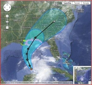
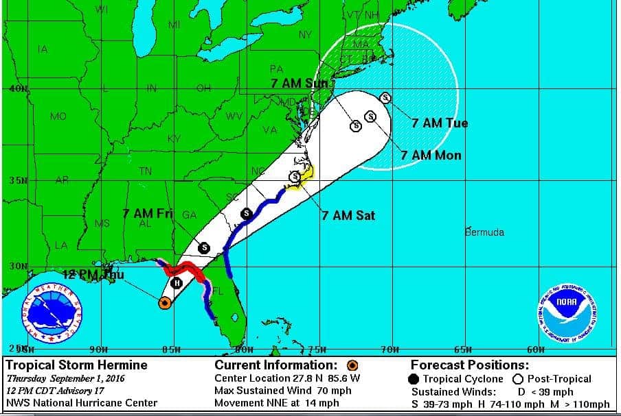
Karen has a northern track and will probably make landfall on the Florida Panhandle near Pensacola sometime on Saturday. There remains some probability for further strengthening and with sustained winds already exceeding 65 MPH, it is possible the storm could become a category one hurricane before it makes landfall.
After landfall, the current track of the storm takes it on northeasterly direction up through Alabama, Georgia and into South Carolina, but may affect Tennessee and Kentucky as well. It will lose strength overland, but is expected to retain tropical storm force winds and heavy rain as far north as Virginia.
Warnings and Watches
The National Hurricane Center has issued a hurricane watch for the Gulf Coast from Indian Pass, Florida, to Grand Isle, Louisiana. A tropical storm watch is in effect for New Orleans and the coastline to Morgan City, Louisiana.
A watch means that conditions are likely for a storm to occur in a given area and are given as a storm approaches. Warnings are issued approximately 36 hours in advance of landfall and indicate that a storm will arrive within that timeframe.
In addition to high winds, watch-area residents should prepare for power outages, inland flooding, storm surge and pay attention to local news for information about evacuations. Tornadoes are also possible just before, during, and after a tropical storm or hurricane makes landfall. Expect heavy rain and flash flooding.
Power Outages
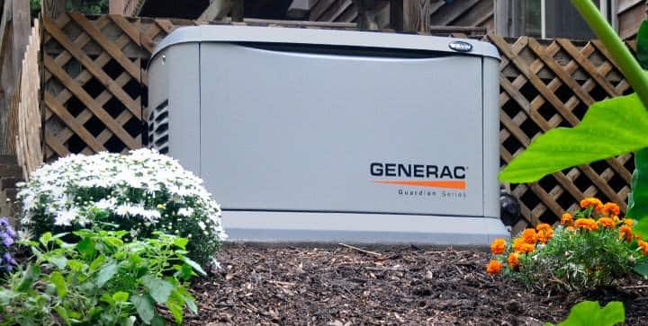
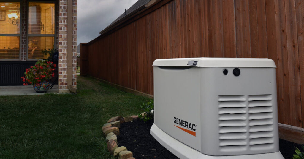
Hurricanes can cause extensive damage to the power grid and residents may find themselves without power for extended periods of time. The best defense against a power outage is a standby generator that operates on natural gas or propane. They are permanently installed systems that work with an automatic transfer switch to supply power automatically in the event of an outage and can operate for extended periods. Since they rely on natural gas or LP supplies, they don’t need continuous refueling.
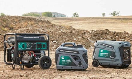
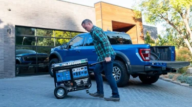
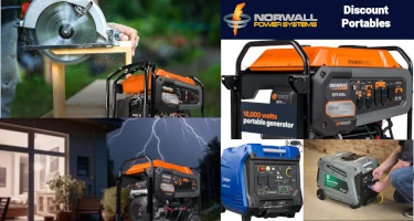
Portable generators are another option, but require a steady supply of fuel―usually gasoline or diesel, but some models use propane or natural gas. Most can connect to a home through a manual transfer switch, or supply appliances directly using extension cords. Stock supplies of fuel well in advance of the storm. You may not be able to buy fuel once the storm makes landfall.
Safety
Pay attention to local news and if your area is evacuated, do not wait. Leave as soon as possible and follow the evacuation routes. The sooner you leave, the less trouble you will have and the less traffic you will encounter.
Follow local guidelines for preparing your home against high winds and flooding. If you are staying put to ride out the storm, make sure that your portable generator placement won’t endanger your life, or the lives of your neighbors.
Remember that your property is not worth risking your life for. Hurricanes are dangerous storms and flooding and storm surge are more dangerous than high winds.
Map by Google Maps.
Storm Track by the National Hurricane Center


