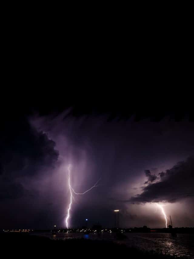
A Warmer Than Average Winter Doesn’t Always Mean Sunshine and Blue Skies
When the National Oceanic and Atmospheric Administration (NOAA) announces a warmer than average winter with average to lower precipitation, many people rejoice. Hopefully, the polar vortex will stay in the polar regions and not plunge most of the country into subzero temperatures. Less precipitation usually means less snow. Not so good for skiers, snowboarders, and snowmobilers. Better for those who wish they lived in the Caribbean.
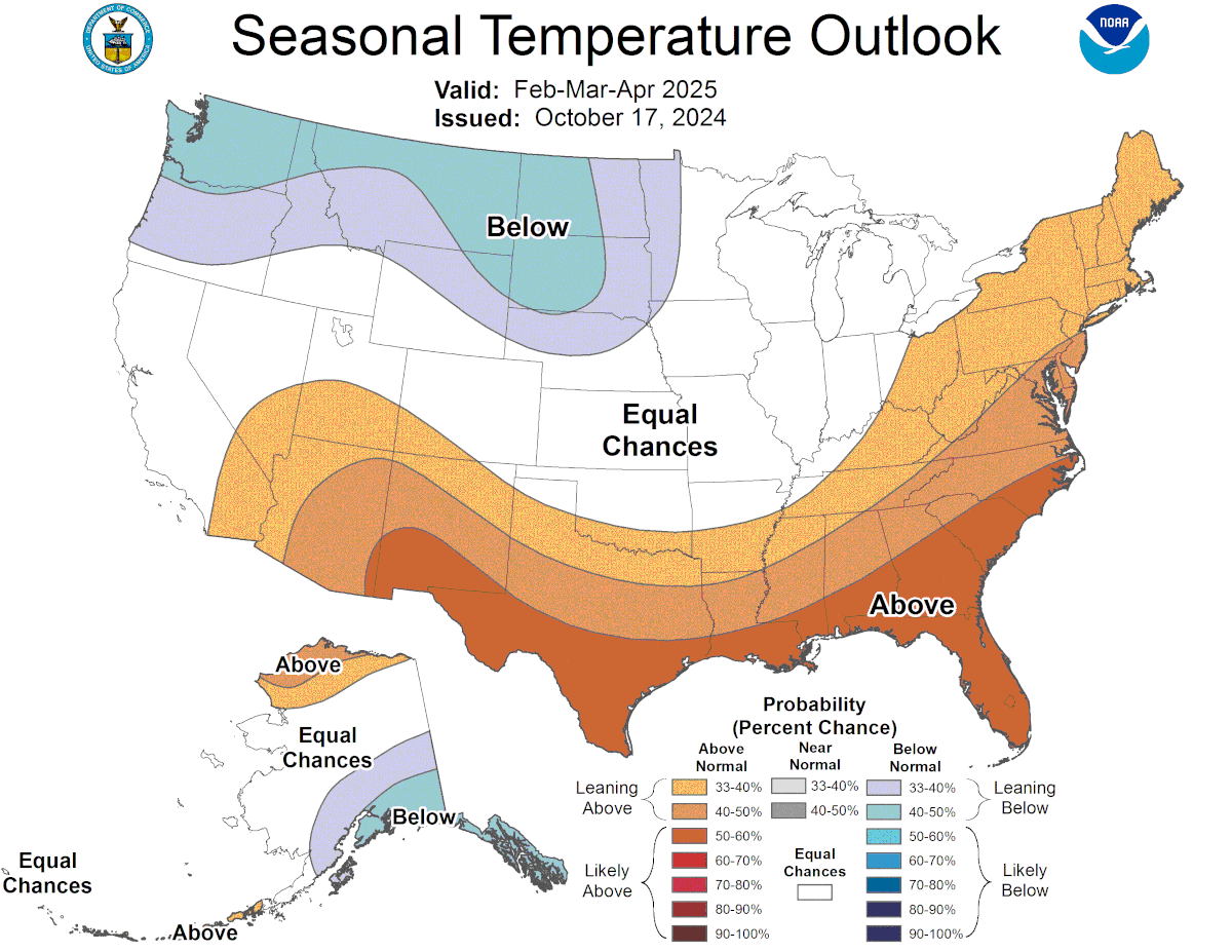
According to the NOAA, the 2024-25 U.S. winter outlook points at average to colder temperatures from the Great Lakes west through Washington and Oregon. New England to Tennessee and across the states to Nevada and Utah will be warmer than normal. Ohio to California looks like near normal temperatures,
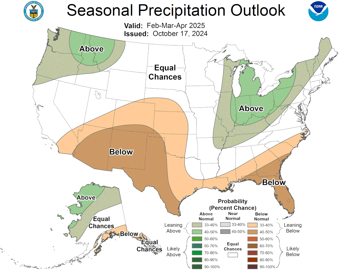
Below normal precipitation is forecast along the coasts from North Carolina to Texas through through New Mexico and northeast to Nebraska, Kansas, and Oklahoma. Inland New England down to Tennessee and Missouri, then north to Wisconsin and the U.P. will be above normal precipitation, as will the Pacific Northwest. Center portions of the country have equal chances for above, normal, to below average precipitation.
After the first frigid blast of cold air and a little snow, everyone wonders what happened to the warm winter.
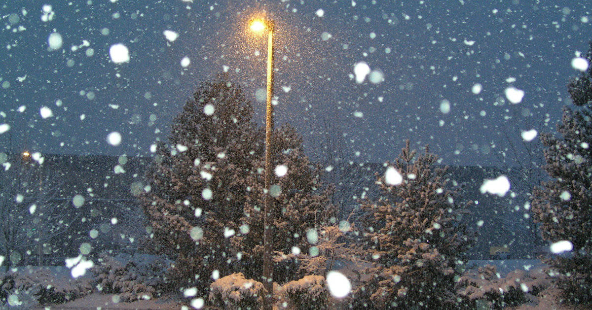
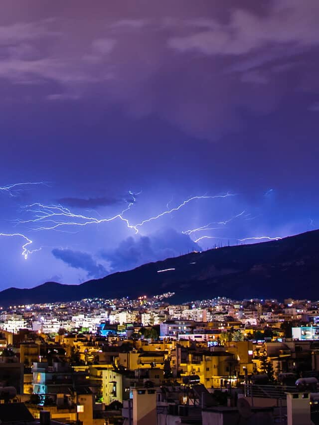
The truth is, a warmer winter often brings more turbulent weather in the form of ice storms, blankets of heavy snow instead of fluffy snow, and high winds. Instead of a few inches of fluff, we get an inch or two of wintry mix. While we might not see much in the way of subzero temperatures, below freezing for large sections of the country is more likely than not.
Warmer or colder than normal averages out to a few degrees—not extremes.
The National Weather Service uses specific phrases you should know and pay attention to. A “Winter Weather Advisory” is very different from a “Winter Storm Warning.” Learn these phrases and pay attention when you hear or see them.
Winter Storm Warning: Immediate action required. Life-threatening severe winter conditions have begun or will begin within 24 hours. Cancel or postpone travel plans. Check stored food and water supplies.
Blizzard Warning:
Immediate action required. Sustained winds or continuous gusts of wind of at least 35 miles per hour combine with heavy falling or blowing snow. Conditions reduce visibility to a quarter mile or less with frequent whiteout conditions. Blizzards last three hours or more. Blizzard warnings are usually accompanied by a winter storm warning which makes them life-threatening weather conditions. Travel on roads becomes extremely hazardous or impossible accompanied by a high likelihood of becoming stranded. Stay home and indoors.
Important: In a blizzard, whiteout conditions make travel extremely hazardous. While walking, even in familiar surroundings, disorientation can result in becoming lost. While driving, the road may disappear as the road, sky, ditches, and surrounding landscape blend into a single gray-white color.
Winter Weather Advisory: Winter weather conditions will cause significant inconveniences and may present hazards to travel. Usually not life-threatening for the well prepared and cautious. Road conditions may cause delays and increase travel times.
Wind Chill: How cold it feels as opposed to the actual temperature. Wind removes heat from our bodies faster than still air, making it feel colder and increasing the risk of frostbite and hypothermia. Dress in layers for the actual temperature with additional protection from the wind. Cover all exposed skin and protect your eyes with glasses or goggles.
Winter Storm Watch:
Winter storm conditions are possible within 36 to 48 hours. Review your winter storm preparation plans. Stay alert to changing weather reports and remember that a winter storm watch may turn into a winter storm warning over the next 48 hours. Change travel plans to arrive before the storm or wait until it passes. Watch local weather forecasts or weather websites for updates.
Winter Storm Outlook:
Issued when conditions are ripe for a winter storm within two to five days. Stay informed. Review travel plans and check winter preparation kits.
Winter Weather Hazards at Home
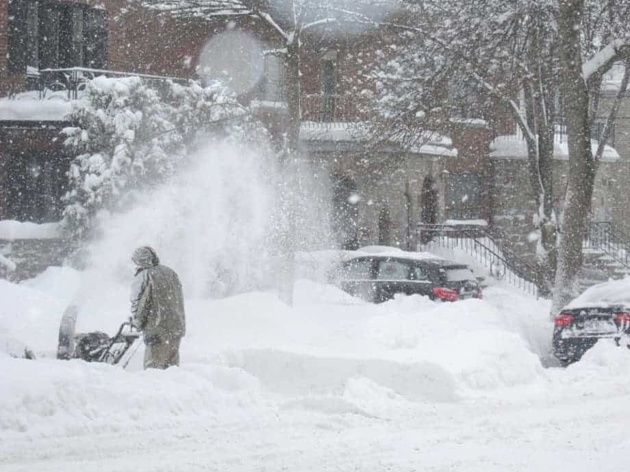
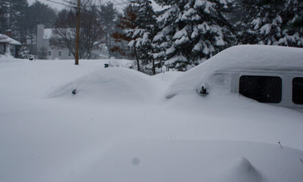
Winters Storms and Blizzards Make Keeping Sidewalks and Roadways Clear a Challenge.
Snowstorms bring varying amounts of snow ranging from a mere dusting to more than a foot. In some locations, especially downwind of the Great Lakes, accumulations are measured in feet rather than inches. When warmer temperatures combine with snow, even small amounts of snow become heavy and difficult to move. Don’t shovel heavy snow unless you’re young and athletic and used to exertion. A snowblower does the job easily, won’t give you a heart attack, and gets the work done faster.
Ice Storms can turn the landscape into a jewel-crusted wonderland of sparkling glory as beautiful as it is dangerous. Streets and sidewalks turn into rivers of treacherous ice. Trees and power lines droop under the heavy load. Scatter ice-melt salts on walks and drives in warmer weather. Switch to low-temperature formulas when temperatures drop near or below freezing.
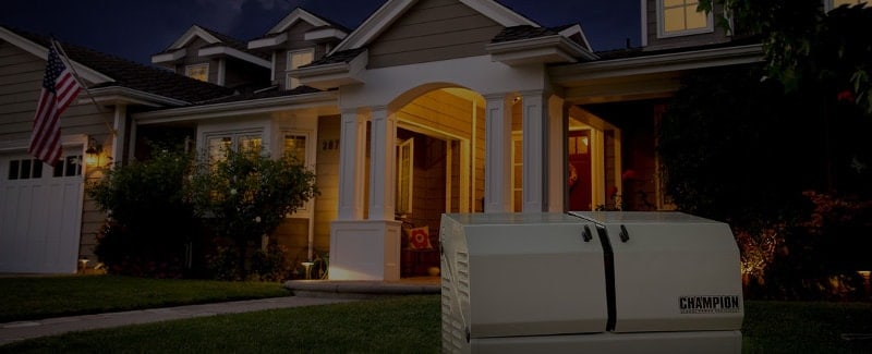
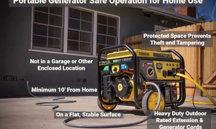
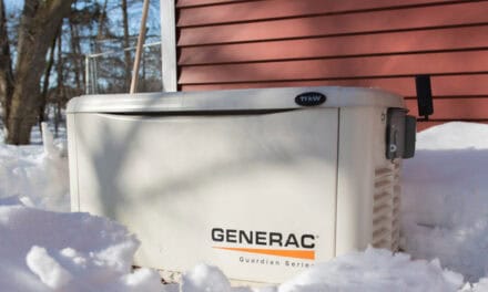
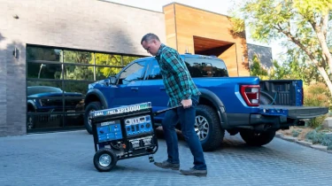
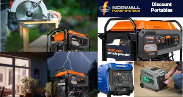
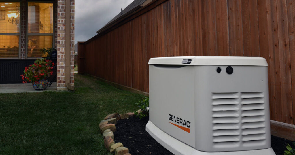
When the branches on encrusted trees snap and fall onto power lines, the result is often a loss of power. Ice storms can overwhelm utilities and delays in restoration of a day or even longer are not uncommon. Home backup generators run automatically to power your furnace, other essentials like refrigerators and sump pumps, and keep your lights on without the need to refuel. Portable generators are not automatic and require refueling. It takes one of the larger models to power the whole house. If you want to run your furnace or other permanently connected appliances, have an electrician install a manual transfer switch. Choose a portable of at least 5500 to 6500 watts.
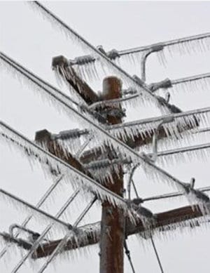
Power Lines Laden with Ice can Snap in Moderate Winds or When Ice Burdened Trees and Branches Fall on the Cables
Blizzards combine the worst hazards of winter into a single event. Significant wind chills in high winds can cause hypothermia and frostbite in less time than most imagine. The same high winds blow snow horizontally and reduce visibility. In whiteout conditions, the horizon disappears and reduces depth perception to just a few feet. Though hard to imagine until it happens, a person can become lost and disoriented on their own driveway. Stay indoors during a blizzard.
If you must go outside, guard against frostbite by covering exposed skin and avoid hypothermia by dressing in layers. Each layer creates a warm zone protected from heat loss by the next outermost layer. If you start to sweat, remove a layer and cool off a bit. You can always put it back on to warm up.
Keep a Winter Emergency Kit in your car with extra gloves and mittens, hats, high energy snacks, a shovel, jumper cables, blanket, and a source of heat. If you become stranded, keep the windows open a half inch. A three-wick candle kept in a metal coffee can will raise the temperature inside your car 10 or 15 degrees—but exercise caution and never place it where it can fall over or where someone can knock it over. Keep it away from the kids.
Pro Tip: Wear a hat and scarf to keep your head and the back of your neck warm. Your body loses more heat in these areas than any other. Ears are especially susceptible to frostbite. Keep them covered.
A home standby generator runs in any weather, including ice storms and blizzards. They are rated for use in high winds and wet conditions. Fully automatic, they start within seconds after the power goes outs and restore power, night or day, even if you are not at home.
Updated November 4, 2024

