
The National Hurricane Center (NHC) is a division of the National Weather Service (NWS), an agency within the National Oceanic and Atmospheric Administration (NOAA). The NHC is responsible for forecasting and tracking tropical cyclones and their associated hazards in the Atlantic Ocean, Caribbean Sea, Gulf of Mexico, and Eastern Pacific Ocean.
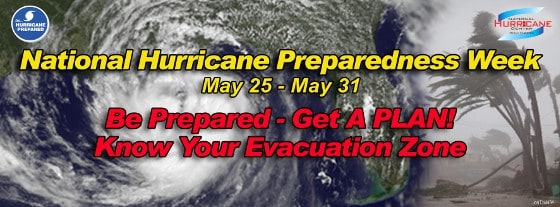
National Hurricane Preparedness Week
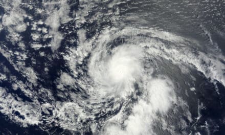
Tropical cyclones are the largest cyclonic weather event on the Earth and a large storm can span more than 1000 miles in diameter. Storm classifications include depressions, storms, hurricanes, and major hurricanes. The most intense tropical cyclone on record was Hurricane Allen in 1980. It was the first and strongest hurricane of the season and formed on July 31. Allen had sustained winds of more than 190 MPH, the highest of any hurricane on record.
Collecting Data
The NHC collects data to determine when and where tropical cyclones are likely to form. They forecast storm intensity and direction, and determine a likely path the storm will follow from a number of hypothetical models that use current and historical data to formulate a storm track.
Data is collected from satellites, ships, buoys, air craft, radio soundings, radar, and automated surface observation stations from all over the Atlantic Ocean, Caribbean Sea, and Gulf of Mexico and includes factors like pressure systems, wind speeds, ocean temperatures, humidity, and much more. The formation of a tropical cyclone is dependent on all these factors, and once formed, how they also affect how the storm will grow and how intense it will become.
The information gathered is added to computer models which use a combination of current and historical data to determine what chance a weather system has of forming a tropical cyclone.
Categorizing a Storm

Saffir Simpson Scale
Tropical cyclones get their energy from warm ocean water and the warm air over the ocean. Storms over the warm water intensify and begin to rotate. As organization (the horizontal rotation and the circulation of air into, up and out from the system center) increases, the storm becomes a tropical depression and is given a number. Tropical depressions have sustained winds less than or equal to 38 mph.
Increased organization will allow the sustained wind speed to exceed 38 mph. The storm will have circulation that is apparent in the shape of its cloud structure. Satellite imagery clearly shows this rotation. Once sustained winds reach 39 mph, the classification changes to a tropical storm and the system is assigned the next name in the list for that year.
If organization continues, the storm may intensify into a hurricane with sustained winds of 74 mph. Major hurricanes have sustained winds greater than 110 mph.
Forecast Cycle
The NHC updates forecasts on tropical cyclones every six hours. Data collection from all the sources is synchronized at various times to increase efficiency, which reduces the amount of time needed to update the forecast. Forecast times are at 00:00, 06:00, 12:00, and 1800 UTC (Coordinated Universal Time). It takes time to put together a forecast and coordinating data collection at specific times allows forecasters to issue advisories on a regular schedule.
Location of the storm, size of the storm, and strength of the storm are considered when issuing advisories. During the forecast cycle, if observations warrant immediate updates, the NHC will issue special advisories between usual forecast times.
The forecast cycle increases accuracy and allows forecasters to fine tune the forecast as a storm approaches land. This increases public confidence in the forecast and in the process saves lives.
Public Response
Timely and accurate forecasts with warnings and watches allow government officials time to respond and evacuate areas in the direct path of a storm. They also give residents advance warning and allow them time to respond by boarding up homes, checking supplies of food, water, and fuel for electric generators.
With 24 to 36 hours of notice, people have time to make last minute preparations or evacuate in a timely manner ahead of clogged roadways. It is important to have a plan and to be able provide for yourself in the hours and days after a hurricane makes landfall and devastates cities, towns, and rural areas.
Formulate Your Hurricane Response Plan Now.
Get a Plan – Take Action – Be Prepared With:
- Emergency Kit
- Medication and Medical Supplies
- Evacuation Plan / Route / Destination
- Backup Electric Power
- Fuel
- Food
- Potable Water
- Heat / Air Conditioning


