
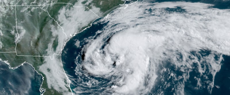
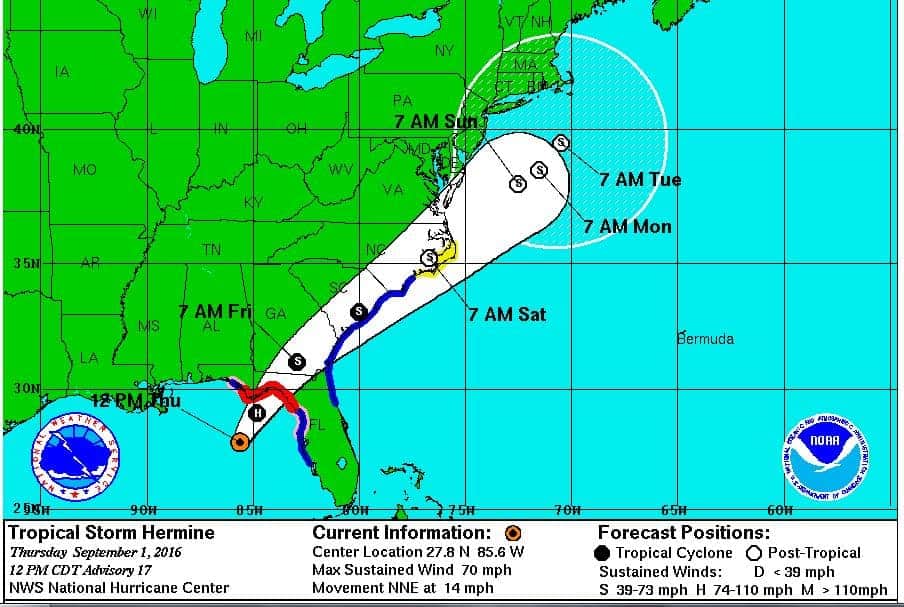
Arthur Drenches Outer Banks with Wind and Heavy Surf.
The 2020 Hurricane Season arrived two weeks early with the first-named storm of the year. Tropical Storm Arthur formed out of a depression near the Bahamas and south of Florida. The storm gradually moved north along the East Coast where it brought heavy seas and rip currents.
Arthur came within 20 Miles of the North Carolina Outer Banks, just off Cape Hatteras at 3 PM on Monday, May 18. The NHC issued tropical storm warnings along the coast. Impacts included heavy rain and tropical-storm-force winds on Monday.
Currently, the storm has maximum sustained winds of 50 MPH. The National Hurricane Center in Florida expects Arthur to strengthen as it transitions to an extra-tropical storm while it moves East and then South over the Atlantic. Peak winds could reach 60 MPH in the next 24 hours. After transitioning to extra tropical, the storm will weaken as it moves south toward Bermuda, reaching the islands sometime on Thursday. Arthur will continue to impact the mid-Atlantic and Southeast U.S. Coasts with rip currents and heavy surf for the next few days.
10 Tips to Survive a Hurricane Disaster
2020 Hurricane Season

June first marks the official start of the Atlantic Hurricane Season, but a tropical cyclone can form any time of the year. The season peaks in August and September, with a gradual decline in activity from October through November 30, the end of the season. Hurricanes and tropical storms can form throughout the winter and early spring.
The most current 2020 Hurricane Season long-range forecast by the CSU Tropical Meteorology Project indicates an above average season with 16 named storms, 8 hurricanes, and 4 major hurricanes. TSU expects at least one major hurricane to make landfall somewhere along the U.S. Coast.
A trend toward higher activity followed the 2015 Hurricane Season, the last in a string of three below average seasons that began in 2013. The El Niño Southern Oscillation (ENSO) in the equatorial Pacific Ocean affects storms in the Atlantic. A cooler Pacific often indicates a more active Atlantic season. The current ENSO trend is toward a cooler Pacific with the possibility toward a weak La Niña (cooler, rather than warmer ocean.)
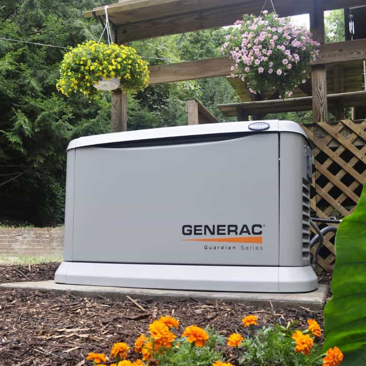
Best Natural Gas and Propane Generators for Hurricane Preparedness
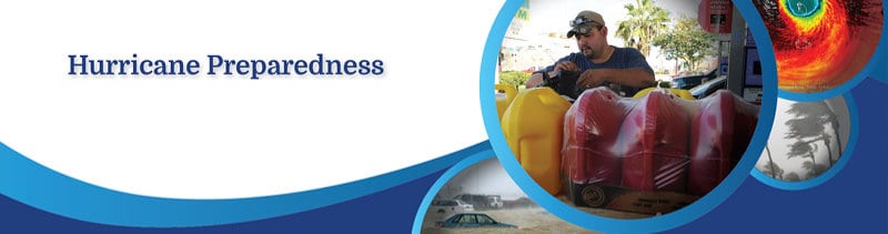
Hurricane Preparedness
Tropical Storm Arthur only brushed by the coast, coming closest to Cape Hatteras, North Carolina. Although not currently in the forecast, another hyperactive year like 2017 is possible when five Major Hurricanes like Maria lined up one after another and devastated the Caribbean and U.S. Coasts. The ENSO trend that year was neutral with a trend toward cooling and a La Niña.
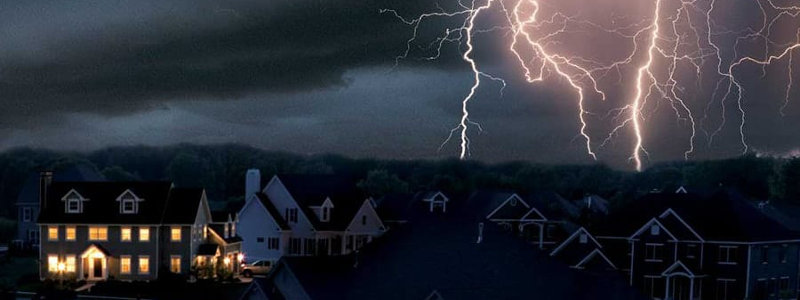
Everyone that lives along the Gulf or East Coast from Florida through Maine should Have a Plan and Prepare. With an active season in the forecast, preparation is key to minimizing damage and danger to life and property.
Things to Remember When A Hurricane Threatens
Hurricane Planning and Preparedness
- Know the Risks—Flooding and Storm Surge outweigh all other risks to life and property, including high winds.
- Make an Evacuation Plan—Have an evacuation kit ready with everything you need. If the order is given, leave as soon as possible.
- Emergency Backup Power—Hurricanes cause widespread outages that last days or weeks, often during sweltering heat and humidity. Did you know FEMA recommends a backup power source?
- Build Disaster Kits and Store Emergency Food and Water—Stores empty fast when a storm approaches. Avoid the uncertainty and buy everything in advance.
- Prepare Your Home Against a Hurricane—Install Hurricane Shutters and doors or cut strong plywood to fit. Trim or remove dead trees. Plan to store outdoor equipment and furniture.
- Get an Insurance Checkup—Homeowner Insurance won’t cover damage from inland floods or storm surge.
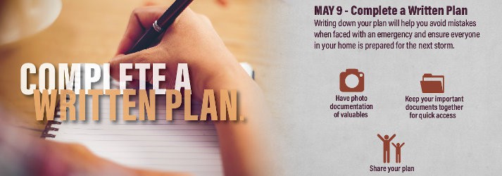
- Complete your Preparedness Plan—Put it in writing. Stock up on supplies. Build your kits. Reinforce your home. Share your plan with family and friends.
Hurricane Season is upon us. Now is the time to prepare before more storm appear on the horizon. #HurricaneStrong #Hurricane Preparedness
Are you ready?


