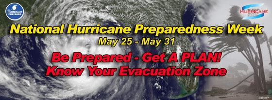
National Hurricane Preparedness Week
News television networks often talk about storm surge and how it can overwhelm dikes and levees, cause damage to shorelines, and inundate coastal areas with fast rising water. When storm surge combines with a high tide, the effect is even more pronounced.
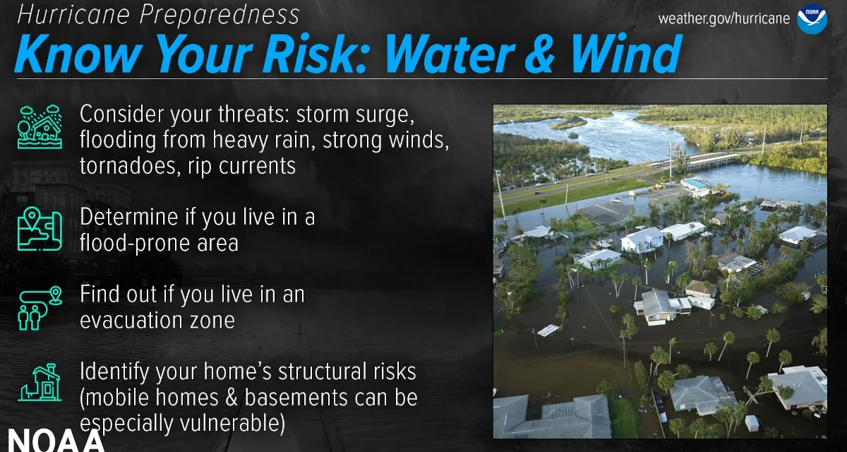
Coastal regions experience the greatest loss of life and property from the storm urge. High winds drive waves that batter shorelines and structures while the water level rises dramatically, sometimes more than 20 feet. The higher than normal water level allows the waves to reach further onto the shore than waves of a similar height.
Storm Surge
Storm Surge
Atmospheric pressure pushes down on the ocean surface. If pressure were equal everywhere, it would have no effect on water level. However, the center of a hurricane is an area of very low pressure which differs substantially from areas outside the storm. As the atmosphere presses down on the ocean surface, the low pressure within the eye of the hurricane allows the surface of the ocean to rise.
At the same time, the cyclonic winds push water at a 45-degree-angle to the wind. Hurricane winds move in a circle, thus all the water around the eye is being pushed toward the eye. The result is a mound of water that peaks in height at the edge of the hurricane’s eye.
Ocean currents affected by the earth’s rotation can also magnify the storm surge to a certain degree.
Storm Tide
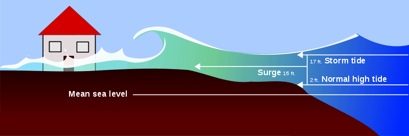
Storm Surge Combines with High Tides and Extreme Waves
A high tide that coincides with the storm surge will magnify the surge by the height of the tide. A five-foot high tide will combine with a 15-foot surge to produce a 20-foot storm tide—water that is 20 feet above the mean sea level.
The coastline along the Gulf of Mexico experiences lower tides than the Atlantic and Pacific Coasts, typical high tides are usually less then two feet above mean sea level. The Atlantic Coast has higher tides, often more than five feet. As a result, the Atlantic Coast experiences greater storm tides than the Gulf Coast.
Battering Waves

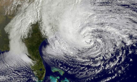
Tropical Cyclone
As the tropical cyclone moves closer to shore, the winds drive high waves ahead of themselves and onto the shore. The waves will combine with the storm surge and storm tide to reach extreme heights and reach much further up the shore than normal. The kinetic energy within the wave combines with the force of the wind that drives it to push the waves further up the shore before they break. Waves can reach far beyond the beach under these circumstances to damage property and threaten lives.
Storm Preparation
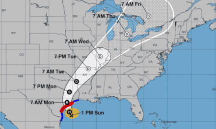
Preparation begins long before a storm threatens. Residents of coastal areas should know evacuation routes and make plans that include where they will go if a hurricane or tropical storm forces evacuations in their areas. Once a storm is predicted and forecasters have determined a track, local officials will notify residents of evacuations.
Once the order has been given, evacuate as soon as possible. Routes may become clogged with traffic as the storm nears land and supplies of fuel may also run short.
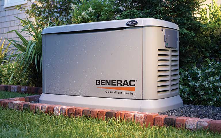
Inland residents should also make preparations that include topping off stores of food and water and performing preventative maintenance on emergency standby generators. Homes with generators that run on propane should top off their supply if possible. Portable generator owners should also do maintenance and ensure that supplies of gasoline are fresh.
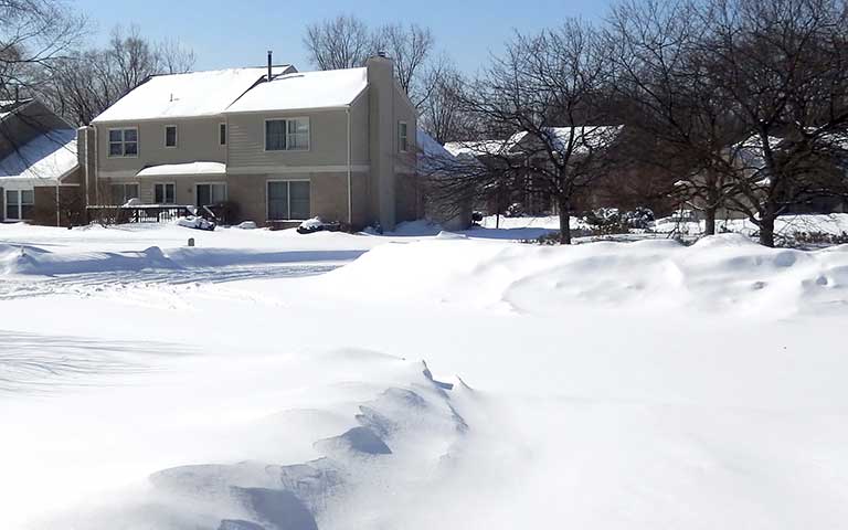
Regardless of location, anyone living where hurricanes or tropical storms threaten should have an emergency preparedness kit and an NOAA weather radio that provides storm updates and emergency information.


